Mamdani Administration Turns to Digital Twins for Neighborhood Planning
Get unbiased, data-driven insights into Digital Twins NYC neighborhood planning, developments, and potential implications for the community.
 By
By 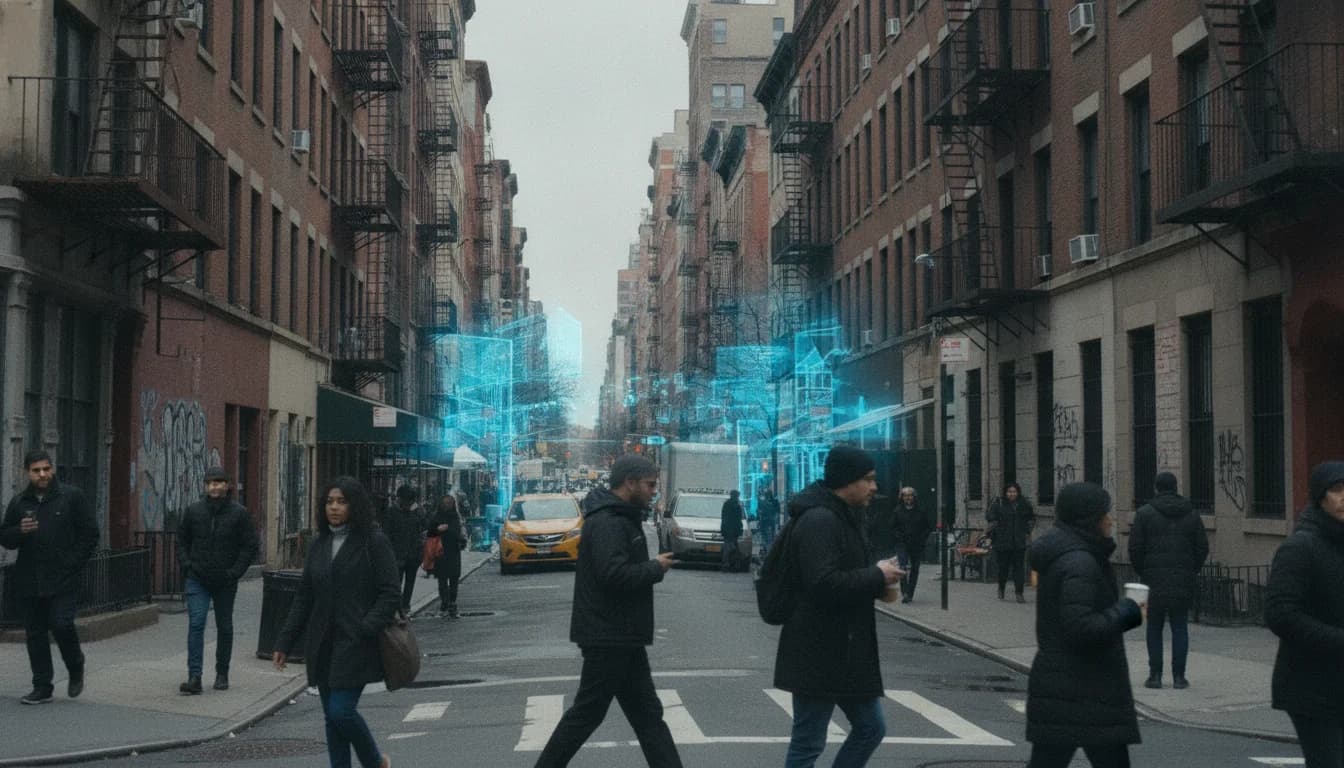
In a move that signals a new era for how New York City approaches neighborhood planning, the Mamdani administration announced on June 25, 2026, a set of tools and supports aimed at accelerating housing while preserving historic character across the city. The launch centers on a broader embrace of digital approaches to planning and public engagement, with a clear emphasis on balancing growth with preservation. The administration framed the effort as a practical step toward more transparent, data-driven decision making at the neighborhood level, a necessary shift for a city navigating rapid housing needs and aging historic infrastructure. This development matters for residents, property owners, neighborhood organizations, and city agencies alike, because it promises to alter how projects are evaluated, how community voices are integrated, and how resources are allocated in the years ahead. The announcement comes at a moment when city planners are increasingly looking to digital tools to inform policy choices and communicate them to the public, a trend that many analysts interpret as a mature evolution of urban planning in the digital age. (nyc.gov)
The new resources unveiled today include a searchable interactive map showing where homeowners can create Ancillary Dwelling Units (ADUs) within historic districts, a dedicated Landmarks Preservation Commission (LPC) team to assist applicants, and a set of supportive materials—an ADU fact sheet and detailed guidance on landmark transferable development rights (TDRs)—to help property owners understand options for preservation and expansion simultaneously. In short, the tools are designed to help neighborhoods add housing while protecting the distinctive character of historic districts and landmarked properties. The city also released a public-facing fact sheet and accompanying guidance to ensure that landmark transfers can fund maintenance and preservation activities while enabling nearby new housing. This combination of practical mapping, governance support, and policy clarity represents a concrete step toward implementing a more transparent, data-informed approach to neighborhood planning. The administration tied the launch to the Block by Block Housing Plan, underscoring its commitment to expanding housing opportunities in every neighborhood while maintaining a sense of place. “New York needs more homes, and every neighborhood has a role to play in building them. Preserving our history and building are future are not competing goals. These new tools will help homeowners create more space for their families, help landmarked buildings stay financially stable and help our city add the housing we need – all while protecting the neighborhoods we love,” said Mayor Mamdani. “That’s what Block by Block is all about.” (nyc.gov)
The city’s press materials also highlight that these resources are part of a coordinated effort across city agencies, including the LPC, the Department of Housing Preservation and Development (HPD), and the Department of Buildings (DOB). The release notes that the ADU and TDR resources align with zoning changes adopted through the City of Yes for Housing Opportunity in 2024, a framework intended to simplify ADU processes citywide and to clarify landmark-adjacent development opportunities. The collaboration reflects a broader, cross-agency approach to housing and preservation that has been evolving over the past two years, with an emphasis on streamlining approvals and expanding housing supply without sacrificing neighborhood fabric. The June 25, 2026 announcement also signals a longer-term plan to refine and expand these tools, anticipating additional guidance and potential rule changes as the Block by Block initiative progresses. (nyc.gov)
Section 1: What Happened
Announcement Details
The Tools and Their Purpose
On June 25, 2026, the Mamdani administration, alongside LPC leadership, introduced a new suite of tools designed to facilitate housing growth in historic districts without compromising neighborhood character. The centerpiece is a searchable map that identifies where ADUs can be built within historic districts, accompanied by practical guidance and a dedicated LPC team to assist applicants through the approval process. This bundle of resources aims to reduce uncertainty and friction for homeowners seeking to expand housing options, while preserving landmarked assets and districts. In addition, the city published an ADU fact sheet and detailed guidance on landmark TDRs to help property owners navigate new financing opportunities tied to preservation efforts. These resources collectively reflect a more integrated planning approach that explicitly ties preservation, housing, and community engagement into a common framework. (nyc.gov)
Timeline and Key Facts
The city’s release demonstrates a tangible milestone in the broader “Block by Block” housing strategy, which the administration has used to frame its approach to housing and preservation. The press materials explicitly connect today’s launch to that plan, underscoring a coordinated, citywide effort to expand housing while strengthening preservation finance through TDRs. The initiative reflects a broader policy context: New York City’s historic districts number in the multiple hundred, and landmarked properties span tens of thousands, with preservation and adaptive reuse pressures shaping many neighborhood conversations. The year 2024’s City of Yes housing changes provided the backdrop for these tools by legalizing ADUs across large swaths of the city and setting criteria for ADU projects within historic areas. The LPC’s interactive map, along with new guidance, is designed to help owners understand these requirements and accelerate the approval process where appropriate. In short, the program represents an explicit operationalization of the city’s housing and preservation goals through improved information, clearer pathways, and enhanced coordination among agencies. The cumulative effect: a more predictable environment for developers, property owners, and residents seeking to participate in neighborhood planning. (nyc.gov)
Key Facts and Context
Among the standout facts highlighted in the June 25 release are:
- The interactive map shows where ADUs can be created within historic districts, a tool designed to unlock additional housing capacity without compromising landmark integrity. (nyc.gov)
- The LPC has established a dedicated team to assist property owners, signaling a more hands-on, customer-service approach to navigating preservation approvals. (nyc.gov)
- The ADU fact sheet and landmark TDR guidance have been released to clarify options for property owners looking to generate revenue for maintenance while enabling nearby new housing. (nyc.gov)
- The tools are framed as part of Block by Block, the administration’s comprehensive housing plan that seeks to balance housing growth with neighborhood preservation across all five boroughs. (nyc.gov)
Timeline Snapshot
- 2024: City of Yes for Housing Opportunity changes legalized ADUs across much of the city and set requirements for ADUs in historic districts, laying the groundwork for today’s enhancements. (nyc.gov)
- June 25, 2026: Mayor Mamdani and LPC announce the new ADU map, LPC support, and TDR guidance as part of the Block by Block Housing Plan. (nyc.gov)
- Post-launch: The city indicates continued refinement and expansion of tools, with additional guidance and potential rule updates to accompany ongoing housing and preservation objectives. (nyc.gov)
Section 2: Why It Matters
Housing, Preservation, and Public Engagement
Balancing Growth and Character
The June 2026 tools address a central urban-planning tension in New York City: how to expand housing supply in dense, historic neighborhoods without eroding the distinctive character that defines those areas. By providing targeted guidance, an ADU-focused map, and a clear path for utilizing landmark-related development rights, the city is attempting to align market incentives with preservation goals. This alignment is particularly salient in districts where landmark designations shape development potential and tax scenarios, creating a need for transparent, accessible information for residents and investors alike. The mayor’s office emphasizes that housing relief and preservation are not competing goals, signaling a deliberate attempt to reduce conflict and build public trust through concrete, data-driven tools. The initiative also situates itself within a broader conversation about how digital twin-like planning tools can support neighborhood-scale decision making by providing real-time or near-real-time visibility into how policy changes translate into built form and public impact. (nyc.gov)
Public Engagement and Accessibility
The interactive map and LPC support represent a stepped toward more accessible government information for homeowners and neighborhood groups. When residents can see where and how ADUs can be added within historic districts, and when they can access a dedicated LPC team for questions, the public engagement process becomes more iterative and transparent. In practice, this can help residents better understand how preservation rules interact with housing opportunities, potentially reducing misunderstandings or misaligned expectations. The administration frames these tools as part of a broader strategy to involve communities more directly in planning decisions, an approach that aligns with data-driven governance and the desire to align public engagement with concrete, policy-backed outcomes. Public-facing guidance and a centralized information channel are expected to improve accountability and responsiveness across the permitting lifecycle. (nyc.gov)
Digital Twins in Urban Planning: Broader Context
Beyond the specifics of ADUs and landmark TDRs, the June 25, 2026 announcement resonates with a broader trend in urban planning: the use of digital twins and data-driven models to test plans, communicate forecasts, and enable participatory decision making. In the urban planning literature, digital twins are increasingly presented as a “system-of-systems” approach that combines data, simulation, and visualization to support policy testing and resilience planning. For example, peer-reviewed work on urban digital twins highlights their ability to support scenario planning, emissions monitoring, and multi-domain decision making in cities. These broader developments provide context for why a city might emphasize transparent tools and data-backed guidance at the neighborhood level, helping residents and stakeholders understand how policy levers translate into physical changes in the built environment. While the specific NYC tools announced in June 2026 are tailored to ADUs and historic districts, the underlying logic aligns with international and academic discussions about the maturity of urban digital twins and their potential to support more human-centered planning processes. (sciencedirect.com)
Historical and Market Context
New York’s preservation regime and redevelopment activity have long shaped neighborhood-level planning. The city has used transferable development rights and landmark considerations to manage growth near historic sites, and recent policy updates have sought to streamline processes while expanding affordable housing. The combination of ADU expansion, TDR guidance, and a dedicated LPC team reflects a contemporary approach to neighborhood planning that acknowledges the importance of local character and housing affordability, and it sits within a longer arc of policy experimentation and governance reform. For observers, this signals a gradual normalization of more sophisticated data-informed tools in municipal decision making, with an emphasis on public-facing clarity and cross-agency collaboration. Experts and practitioners in urban digital twin research note that such moves—when combined with robust data governance and transparent stakeholder communication—can improve both planning quality and public trust. (nyc.gov)
What Digital Twins NYC neighborhood planning Means for Stakeholders
Property Owners and Residents For property owners, the tools create a clearer corridor for leveraging ADUs and TDRs in historic districts, potentially unlocking new revenue streams for property maintenance while enabling family expansion or rental opportunities. Because the map is searchable and the guidance is centralized, owners can more confidently evaluate whether a particular parcel is eligible for ADU development and what preservation-related constraints might apply. For residents, these tools promise greater transparency about how neighborhood-level planning decisions could affect housing supply, neighborhood character, and long-term property values. The emphasis on preserving districts and landmarks is intended to reassure communities that growth will be managed with sensitivity to local heritage. The city’s messaging underscores that the tools are designed to support both housing delivery and preservation finance, a message that aligns with broader governance goals. (nyc.gov)
City Agencies and Policymakers
For planning and preservation agencies, the announcement offers a more integrated workflow: data-backed guidance, direct public-facing resources, and formal processes for adjusting development rights in preservation contexts. The collaboration among LPC, HPD, and DOB illustrates a coordinated approach that can serve as a model for other cities exploring digital twin-centric neighborhood planning. As cities increasingly explore digital twins to support policy testing and investment decision-making, New York’s approach—anchored in clear regulatory guidance and user-focused tools—could help accelerate adoption of data-driven processes across departments. This alignment is particularly relevant as agencies consider future expansions of the digital twin concept, including potential citywide modeling backbones and scenario testing for housing, resilience, and climate adaptation. (nyc.gov)
Broader Economic and Market Implications
Analysts watching urban technology trends note that the integration of digital tools into neighborhood planning can influence investment signals, risk assessments, and project timelines. When city agencies provide transparent, credible data and streamlined processes, developers and buyers gain greater clarity about development feasibility, permitting timelines, and preservation-related costs. This clarity can reduce uncertainty, enable more accurate financial modeling, and potentially shorten project cycles. While today’s launch is focused on ADUs and historic districts, the underlying trend toward digital, data-driven neighborhood planning is widely discussed in academic and industry literature as a growing force shaping market dynamics in major urban areas. In Manhattan and other dense markets, the ability to simulate outcomes and communicate them clearly to the public could become a differentiator for cities seeking to balance growth with culture, tourism, and historic preservation. (sciencedirect.com)
Section 3: What’s Next
Next Steps for Agencies and Policy Evolution
Implementation Timeline and Rollout
City officials have indicated that the June 25, 2026 tools represent the first phase of a broader rollout. The next steps are expected to include further refinement of the ADU map, expanded guidance on landmark TDRs, and additional public-facing materials to reinforce understanding of how preservation and housing objectives intersect. The press materials suggest ongoing collaboration among LPC, HPD, and DOB, with potential rule changes to streamline approvals and to extend the tools’ reach to more neighborhoods over time. Observers should watch for updates to the Block by Block Housing Plan as well as any new guidance that clarifies eligibility for preservation-based incentives or new pilot programs tied to neighborhood planning. (nyc.gov)
Innovation in Data and Modeling Across Agencies
Beyond the immediate tools, the city is positioned to explore more ambitious digital-twin-enabled planning efforts. The broader literature on urban digital twins emphasizes the value of shared modeling platforms, open data standards, and participatory design to realize more robust, transparent decision making. The University of Hamburg’s and Hamburg’s urban-model-platform concepts, as well as other open platforms discussed in recent research, point to a future where city-scale modeling engines could underpin neighborhood planning, public engagement, and policy experimentation. While these are not specific NYC commitments, they provide a useful frame for what readers might expect to see as the city pilots additional digital-twin-based planning tools and expands the scope of neighborhood-level modeling. (digitaltwin.engineering.columbia.edu)
What to Watch for in the Coming Months
- Additional guidance and potential regulatory updates to accompany the June 2026 launch, including details on TDRs, ADU approvals within historic districts, and any changes to LPC processes. The city’s publication of the ADU fact sheet and guidance signals a continuing policy conversation that readers should track through official channels. (nyc.gov)
- Potential expansion of the data-sharing and 3D modeling capabilities across city agencies, especially as public-interest and infrastructure planning needs grow in conjunction with housing objectives. The November 2025 platform to map underground networks and share data among agencies suggests a pattern of digitization and cross-agency collaboration that could extend to neighborhood planning tools in the future. (nyc.gov)
- Developments in the academic and industry discourse around urban digital twins, which may influence NYC’s approach to modeling, simulation, and public engagement. Research on CO2-focused urban digital twins in Manhattan and related open platforms can provide benchmarks for how digital twin capabilities might evolve in New York City’s planning ecosystem. (sciencedirect.com)
Timeline and Milestones to Monitor
- Summer 2026: Public release of ADU map, LPC guidance, and TDR information, with the Block by Block Housing Plan as the overarching framework. The June 25 date is the anchor for this phase. (nyc.gov)
- Fall 2026: Potential release of additional guidance or expedited processes for landmark-adjacent projects, following feedback from homeowners and preservationists. The existing materials indicate a move toward more streamlined processes, and a dedicated LPC team suggests ongoing operational planning. (nyc.gov)
- 2027 and beyond: Possible expansion of digital-twin-inflected planning tools, broader neighborhood-scale simulations, and potential pilot programs to test scenario-based planning for housing, transportation, and resilience. The broader urban-twin literature and city-planning discourse point to these trajectories as likely future steps, though NYC’s exact timeline remains to be confirmed by official updates. (mdpi.com)
Closing
The introduction of Digital Twins NYC neighborhood planning tools marks a meaningful pivot in how New York City communicates, plans, and delivers housing within its historic fabric. By combining an accessible ADU mapping tool, clear guidance on landmark rights, and an operational LPC support function, the city is turning the promise of digital twin-enabled planning into tangible, neighborhood-facing practice. For residents and property owners, the change promises greater clarity about opportunities and constraints, and for city agencies, it represents a more integrated, accountable approach to housing and preservation policy. As digital twin concepts continue to mature in urban contexts worldwide, New York’s ongoing experiments—grounded in concrete actions and public-facing resources—offer a useful local example of how technology can support balanced, data-driven neighborhood planning.
Residents and industry observers alike should stay tuned to official City announcements and planning pages for updates on the June 2026 toolset’s rollout, any further guidance, and additional pilot initiatives. The city’s commitment to transparency, housing opportunity, and preservation suggests that Digital Twins NYC neighborhood planning will become a more visible and influential element of the planning landscape in the months ahead. (nyc.gov)