AR-Guided Streets and AI-Powered History Tours NYC 2026
A data-driven look at AR-Guided Streets and AI-Powered History Tours NYC 2026 and their impact on mobility, tourism, and urban design.
 By
By 
Manhattan Monday delivers a data-driven update on AR-Guided Streets and AI-Powered History Tours NYC 2026, a convergence of augmented reality overlays, smart street sensors, and AI-guided storytelling cleanly entering New York City’s public realm this year. The city’s push toward more high-tech, data-informed streets is accelerating just as AI-powered history tours begin to scale for residents and visitors. On one front, city agencies are installing privacy-protective sensors to quantify how New Yorkers move through urban spaces; on another, tourism and cultural institutions are embracing AI-enhanced storytelling that layers history onto real streets. Taken together, these efforts illuminate a path for how public space can be both more navigable and more richly legible, while raising questions about accessibility, privacy, and equitable access to new technologies. The overarching arc—AR-Guided Streets and AI-Powered History Tours NYC 2026—highlights a city intent on pairing placemaking with data-driven insight, and it signals how public spaces may evolve in the years ahead.
The news matters because it frames a broader shift in city design and cultural engagement: the integration of on-street sensors, augmented reality experiences, and AI-powered narration into everyday life. For New Yorkers and visitors, the implications range from safer street design and more efficient transit access to new ways of learning urban history as you walk the sidewalks. The immediate impact is a mix of enhanced situational awareness for pedestrians, more context-rich walking routes for tourists, and new channels for local businesses that intersect with experiential tourism. As a result, AR-Guided Streets and AI-Powered History Tours NYC 2026 could become a template for other dense urban environments seeking to balance preservation with innovation.
What Happened
Sensor deployment milestones and data infrastructure
New York City’s Department of Transportation (DOT) announced the rollout of privacy-protective street activity sensors to better understand how residents use the city’s streets and to inform safer street design. The June 2, 2026 press release states that sensors will count pedestrians, cyclists, buses, and vehicles, and analyze movement patterns to guide safety improvements. After a successful pilot that began in 2023, the program expands to approximately 80 additional locations, with an ultimate citywide footprint of about 100 locations. The sensors are designed to protect privacy by processing video in real time and discarding footage immediately, retaining only anonymous data. This step builds on earlier pilots that replaced manual traffic counts with continuous, real-time data collection. The stated goals include evaluating street redesigns, identifying near-miss risk locations, allocating street space more effectively, and improving access to transit and local businesses. These details come directly from the NYC DOT press release and accompanying materials. (nyc.gov)
AI-powered history tours and AR-enhanced experiences expanding in NYC
The tourism and cultural sectors in New York City are actively integrating augmented reality and AI-driven narration to reframe how visitors and residents experience public spaces. The city’s official tourism channel highlighted a growing roster of AR-driven experiences, including immersive, city-scale walking tours, and noted the emergence of new AR-enabled content tied to major anniversaries and cultural programming in 2026. Notably, the tourism board emphasizes experiences such as augmented reality walking tours tied to Revolutionary-era history and other city themes, underscoring a broader push to fuse technology with place-based storytelling. This trend is reinforced by industry coverage highlighting AI-assisted tours and AR overlays as a growing segment of the city’s tourism ecosystem. (business.nyctourism.com)
AR and AI-enhanced mobility and mapping in the broader tech ecosystem
Beyond city programs and tourism boards, tech media have chronicled a wave of AI-powered navigation and AR features that can operate on urban sidewalks. For example, major AI-enabled walking and navigation features are being rolled into consumer-grade mapping platforms, with reports noting that AI-assisted walking directions and context-aware guidance are becoming more common in 2026. These developments—while not NYC-specific—illustrate the acceleration of AI-assisted, on-foot navigation and narrative delivery that underpins AR-Guided Streets and AI-Powered History Tours NYC 2026. (tomsguide.com)
A snapshot of New York City’s public-space and tourism context in 2026
The 2026 NYC landscape includes a constellation of street redesigns, smart-city pilots, and culturally resonant AR experiences tied to the city’s 250th anniversary of the American Revolution. The city’s Streets Plan Update and related open-streets initiatives are foregrounding walking, transit, and bicycle access, creating an enabling backdrop for AR overlays and AI-driven tours to become more commonplace in daily life. The city’s tourism board is actively curating new AR and AI experiences for visitors, including city-scale AR tours associated with historic themes and ongoing cultural programming. Taken together, these developments position AR-Guided Streets and AI-Powered History Tours NYC 2026 as both a policy and consumer phenomenon, with implications for how residents navigate the city and how tourists engage with public history. (nyc.gov)
Why It Matters
Mobility, safety, and data-informed street design
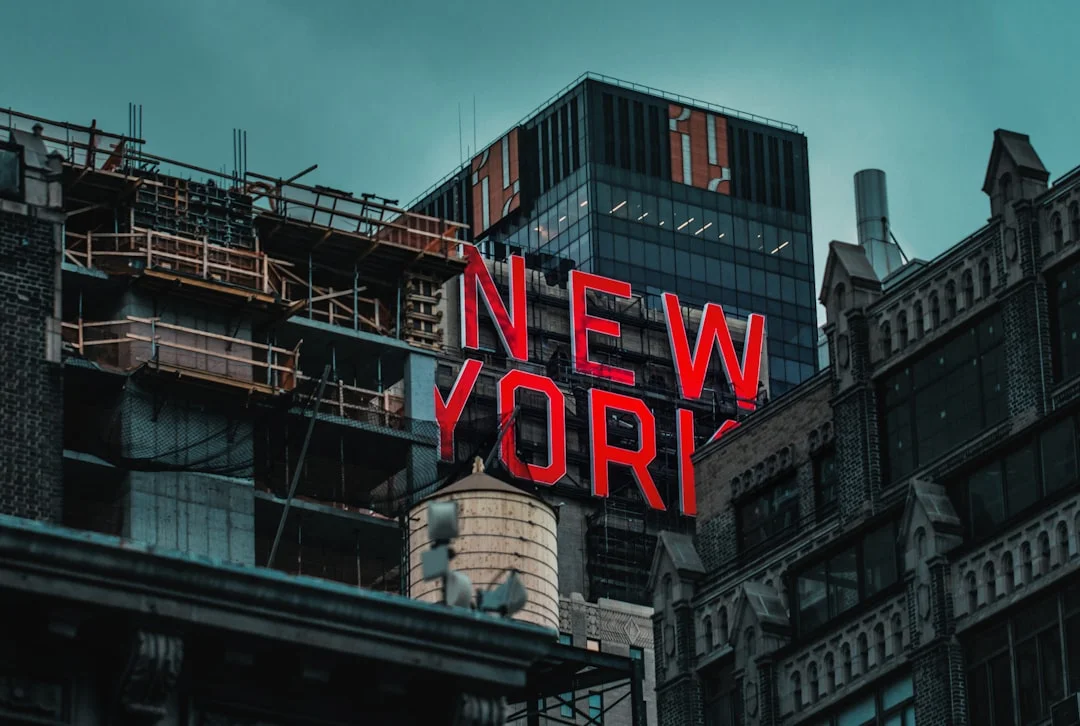
Photo by Nik Shuliahin 💛💙 on Unsplash
The DOT’s sensor expansion is designed to generate continuous, anonymized data about how streets are used, with explicit aims to improve safety and mobility. By moving away from episodic manual counts toward real-time analytics, the city can identify when and where pedestrians and cyclists face conflicts, how traffic patterns shift by time of day, and where mid-block crossings might reduce risk. The privacy safeguards—video data processed in real time with faces and license plates obscured and discarded—are central to public trust as the city studies how people move through spaces that blend pedestrians, transit users, and private vehicles. In practical terms, these sensors can help determine whether street-space allocations adequately serve foot traffic, bike lanes, and curbside activities, which is foundational for AR overlays that rely on precise geolocation to align digital narratives with physical sites. (nyc.gov)
Tourism, education, and cultural engagement in the urban environment
AR-Guided Streets and AI-Powered History Tours NYC 2026 signals a shift in how residents and visitors engage with urban history. The city’s official tourism updates highlight augmented reality walking tours and AI-driven storytelling as a growing category, offering interactive narratives at historically significant sites and neighborhoods. Such experiences can deepen learning, broaden access to complex histories, and extend the value of cultural institutions by turning sidewalks and parks into living classrooms. The economic dimension is notable as well: immersive experiences can extend visitor length of stay, create new opportunities for small businesses near tour routes, and diversify revenue streams for museums and cultural organizations. The tourism board’s coverage, together with related industry reporting, underscores a multi-stakeholder transition where technology augments place-based experiences rather than replacing them. (business.nyctourism.com)
Urban design, equity, and public-space governance
While the AR overlays and AI narration promise richer, more accessible storytelling, they also raise questions about equity and governance. Who gets access to premium AR content? Are there digital-divide considerations for neighborhoods with lower broadband penetration or fewer smartphone devices? How will municipal authorities ensure that AR and AI-enhanced experiences reflect diverse histories and voices without privileging certain narratives over others? Public-space governance will need to address these questions as city agencies and cultural partners expand AR and AI offerings in public settings. The city’s ongoing Streets Plan updates and Open Streets initiatives offer an important backdrop for evaluating whether technology investments translate into broad, equitable access and improved street life across all five boroughs. (nyc.gov)
Public trust, privacy, and transparent data usage
A core aspect of AR-Guided Streets and AI-Powered History Tours NYC 2026 is how data about street usage is collected, stored, and used. The NYC DOT emphasizes privacy by design in its sensor program, with real-time processing and immediate data discard for video. This approach is critical for maintaining public trust as more digital overlays interact with real streets and neighborhoods. Audiences will want clear explanations of what data is captured, how long it is retained in aggregated form, and how it informs policy decisions about street redesigns and safety investments. The ongoing integration of AI into public-space experiences will also attract scrutiny from privacy advocates, academics, and community groups who will push for robust safeguards and independent oversight. (nyc.gov)
What’s Next
Near-term roadmap for 2026–2027
Looking ahead, NYC DOT’s sensor expansion to roughly 100 locations citywide is designed to deliver a more comprehensive, data-driven view of street usage, enabling finer-grained safety improvements and smarter allocation of curb space. With the sensors now deployed across a broader array of corridors, city planners expect a more precise understanding of how different street designs affect pedestrian and cyclist behavior, how transit access changes over time, and how local businesses respond to shifts in foot traffic. The DOT press materials frame this as a multi-year, data-informed program designed to mesh with ongoing street redesigns and public-space initiatives. In parallel, the city’s tourism ecosystem is expected to broaden AR and AI-driven experiences, including AR tours tied to the 250th anniversary celebrations and ongoing cultural programs that map to neighborhood histories. (nyc.gov)
Public-space policy and technology integration trajectory
The broader policy environment will influence how AR and AI travel experiences unfold. City planning documents and public-space initiatives indicate a persistent emphasis on walking, transit, and bike access, with continuous updates to the Streets Plan and Open Streets programs. As these policies evolve, they will intersect with private-sector AR and AI travel experiences, shaping standards for accessibility, safety, and data governance. Observers should watch for updates to the NYC Streets Plan Update and related open-streets and pedestrian safety initiatives, as these will likely guide how new technologies are deployed, who benefits, and how public-private partnerships are structured. (nyc.gov)
What to monitor in 2026–2027
- Sensor deployment and data transparency: Any new disclosures about the scope of sensors and data-handling practices will be a key indicator of both capability and public trust.
- AR and AI content curation: The expansion of AR tours and AI-narrated experiences—particularly those tied to major city anniversaries or cultural events—will signal how deeply technology is integrated into public space.
- Accessibility and inclusion: Initiatives or reports addressing digital access and language accessibility within AR/AI experiences will reveal how inclusive these innovations are across neighborhoods and visitor cohorts.
- Partnerships with cultural institutions: The degree to which museums, libraries, and historic sites adopt AI-guided storytelling and AR overlays will shape the long-term cultural ecosystem of New York City.
Section 1: What Happened
Sensor deployment milestones and data infrastructure
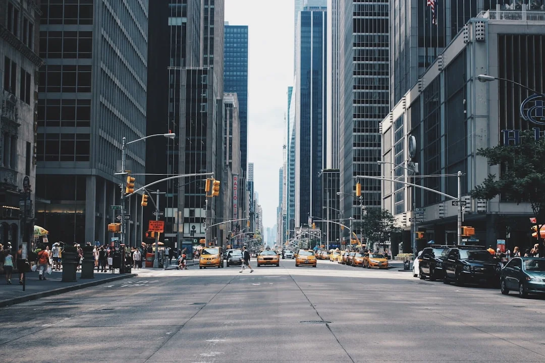
Photo by Andrea Cau on Unsplash
- The NYC DOT announced the use of privacy-protective street activity sensors to better understand street usage and inform safer street design on June 2, 2026. The program, originally piloted in 2023, aims to count pedestrians, cyclists, buses, and vehicles, and to analyze patterns in street use. The plan calls for installing sensors at approximately 80 additional locations across the five boroughs, expanding the city’s sensor network to roughly 100 locations citywide. The sensors provide real-time data to support data-driven improvements in safety, mobility, and access to transit and local businesses, all while safeguarding privacy by processing video in real time and discarding footage with faces and license plates obscured. (nyc.gov)
AI-powered history tours and AR-enhanced experiences expanding in NYC
- In 2026, the city and its cultural partners are expanding AR-driven content and AI-assisted storytelling along public streets and in neighborhoods with rich historical significance. The NYC tourism ecosystem is actively promoting augmented reality walking tours and city-scale AR experiences tied to major anniversaries and cultural programming. These efforts align with broader industry coverage of AI-assisted tours and AI-enhanced navigation that can operate on sidewalks, guiding pedestrians with contextually relevant, location-based narration. (business.nyctourism.com)
AR overlays and city-read narratives tied to historical anniversaries
- The 2026 calendar features AR-driven experiences that connect present-day streets with historical narratives, including immersive tours tied to the American Revolution’s 250th anniversary. The city’s tourism board highlights several AR-enabled experiences, including a city-scale AR walking tour focusing on Revolutionary-era sites. This reflects a broader trend of blending public history with mobile technology to create interactive, place-based learning experiences. (business.nyctourism.com)
Public space and mobility context shaping these moves
- The broader context for AR-guided streets and AI-powered history tours includes ongoing mobility initiatives and open-streets programs designed to promote walking and transit use. The DOT’s plan updates and related public-space investments set the stage for widespread adoption of technology-enabled experiences that overlay digital content onto physical streets, while also prioritizing pedestrian safety and equitable access to public space. (nyc.gov)
Section 2: Why It Matters
Impacts on tourism, learning, and local economies
- AR-Guided Streets and AI-Powered History Tours NYC 2026 offer new ways to experience the city’s past and present. Immersive, location-aware storytelling can deepen engagement with historic sites and neighborhoods, creating opportunities for museums, cultural organizations, and local businesses along tour routes. The city’s official tourism updates emphasize AR tours as a growing category, underscoring their potential to extend visitor stays, diversify experiences, and generate spillover benefits for hospitality, dining, and retail sectors. As these experiences scale, they could contribute to a more resilient, diversified tourism economy that complements traditional museum visits and guided tours. (business.nyctourism.com)
Urban design implications and street-life quality
- The sensor-based, data-informed approach to street design feeds directly into how sidewalks, curb space, and transit access are shaped. If implemented thoughtfully, this data can help ensure that AR overlays align with real-world conditions, reducing clutter, guiding safe pedestrian flows, and highlighting historically relevant sites without creating visual noise or distraction. The design implications extend to how neighborhoods leverage public space for education, culture, and commerce, reinforcing the idea that technology can augment, not replace, the social life of streets. (nyc.gov)
Privacy, governance, and consumer trust
- Public trust rests on transparent data practices. The DOT’s privacy safeguards—real-time processing with immediate video discard—set a baseline for how data-driven street analysis can coexist with civil liberties. As AR overlays and AI narrators enter public spaces, agencies, cultural partners, and technology providers will need ongoing governance frameworks that specify data usage, consent, accessibility, and oversight. The interplay between policy updates (Streets Plan, Open Streets initiatives) and private-sector AR/AI offerings will determine how these tools are deployed, who benefits, and how risks are mitigated. (nyc.gov)
Equity and access considerations
- AR-guided experiences should be accessible to diverse users, including people with varying levels of digital access and different language needs. City planning and cultural programming should aim to ensure that AR and AI-tour experiences are inclusive, affordable, and geographically distributed to avoid concentrating benefits in already-tourist-heavy zones. This aligns with the city’s broader strategies for equitable street design and open-street programs, and it will be important to monitor whether AR-based tourism channels expand opportunity across multiple neighborhoods or reinforce existing tourism patterns. (nyc.gov)
Section 3: What’s Next
Roadmap and near-term milestones for 2026–2027
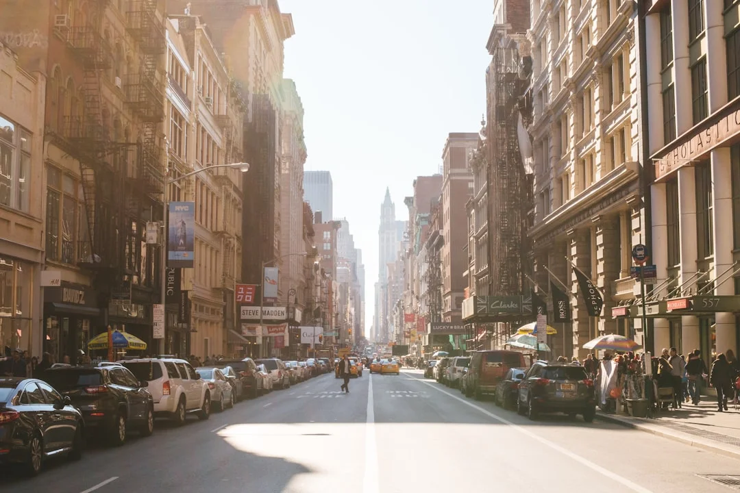
Photo by Jason Briscoe on Unsplash
- The June 2026 expansion of street sensors to roughly 100 locations citywide marks a major near-term milestone for data-informed street design. As the sensors accumulate more granular data, expect closer collaboration between DOT engineers, urban designers, and public-safety officials to refine curb usage, pedestrian spaces, and transit access. In the cultural sector, AR and AI-driven storytelling experiences tied to major city anniversaries and ongoing exhibitions are likely to proliferate, enriching visitors’ navigation of neighborhoods and historic sites. The combination of sensor data and immersive storytelling could push the city toward more integrated, experience-focused street life. (nyc.gov)
What to watch for in public-space policy and implementation
- Watch for updates to the NYC Streets Plan and related open-streets programs, which will influence how technology-enabled experiences are deployed and funded. Public-facing portals and governance frameworks will provide clarity on who can create and monetize AR/AI experiences on public sidewalks, how accessibility is addressed, and how privacy is safeguarded as these tools scale. As AR overlays become more commonplace, citywide standards for content curation, safety overlays, and user privacy will likely emerge, shaping a new operating environment for technology providers and cultural institutions alike. (nyc.gov)
Closing
The converging trajectories of AR-enabled streets and AI-driven history tours in NYC signal a city increasingly comfortable with technology embedded in daily life, while maintaining a clear emphasis on data-driven safety and transparent governance. For residents and visitors, AR-Guided Streets and AI-Powered History Tours NYC 2026 promise richer, more contextual experiences—whether navigating a busy Midtown crosswalk or tracing the city’s Revolutionary history along lower Manhattan sidewalks. As the city continues to deploy sensors, expand AR content, and refine public-space policies, New York will continue to serve as a living laboratory for how augmented reality and artificial intelligence reshape how a metropolis learns, moves, and remembers.
To stay updated on AR-guided street initiatives, AI-powered tours, and related public-space developments, monitor NYC DOT press releases, the official NYC Streets Plan updates, and the city’s tourism communications throughout 2026 and into 2027. The coming months will reveal how these technologies translate into everyday benefits for pedestrians, transit users, and cultural institutions alike, and how the city negotiates the balance between innovation and inclusive access on its most public stage: the streets themselves.